Advanced routing engine

Static-harvesting-plans

Collaborative AI forest harvest planning tool for British Columbia

COLLABORATIVE AI FOREST HARVEST PLANNING TOOL FOR BRITISH COLUMBIA Client Natural Resources Canada Industries Forestry management Logistics and supply chain Solutions Advanced routine engine Artificial Intelligence Geospatial services The need for forested land management in Canada 40% of Canada’s land (367M Ha) is forest. Direct and indirect economic acivity from forestry activities accounts for CAD […]

Collaborative AI forest harvest planning tool for British Columbia Read More »

Disaster Evacuation planning

OGC Disaster and Climate Resilience Pilot

OGC Disaster and Climate Resilience Pilot Client The Open Geospatial Consortium Industries Emergency response Solutions Disaster evacuation planning Synthetic data ABOUT THE OGC DISASTER AND CLIMATE RESILIENCE PILOT The Open Geospatial Consortium is an association of experts committed to improving access to location information. One of its major ongoing initiatives is the Climate Resilience Pilot,

OGC Disaster and Climate Resilience Pilot Read More »

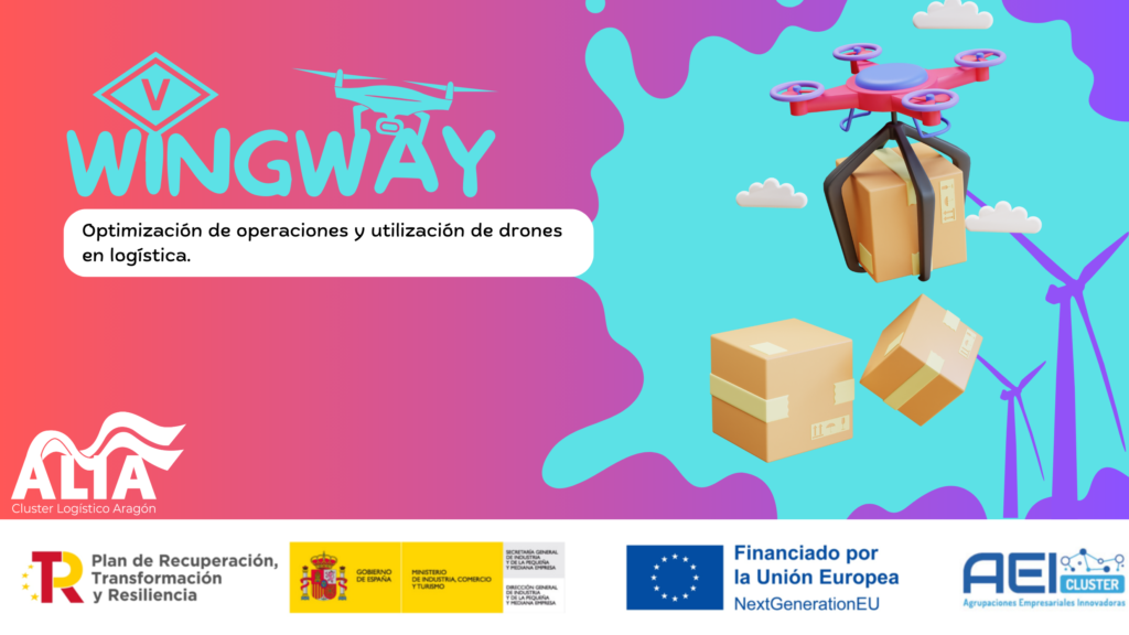
WINGWAY: Drone delivery integration in end-to-end supply chain

wingway; drone integration in supply chain Client Spanish Ministry of Industry, Commerce and Tourism Industries ATM and AAM Logistics and supply chain Solutions Advanced routine engine Artificial Intelligence ABOUT THE WINGWAY CONSORTIUM To respond to emerging needs and use cases in logistics and supply chain operations, Skymantics joined the WINGWAY consortium led by the regional

WINGWAY: Drone delivery integration in end-to-end supply chain Read More »

Research-air-traffic-management

Modus: Multimodal transportation analysis

Modus; Multimodal transportation analysis Client SESAR Joint Undertaking Industries Passenger transportation and mobility Solutions Advanced routine engine Research and conceptualization ABOUT SESAR 2020 SESAR is a European Union (EU) sponsored program for researching the future of air traffic management in Europe. The SESAR 2020 phase, funded by Horizon 2020 program, the EU’s research and innovation

Modus: Multimodal transportation analysis Read More »

Open-Geospatial-Experts

Serving the open geospatial community

Serving the open geospatial community Client The Open Geospatial Consortium (OGC) Industries Air Traffic Management (ATM) and Advanced Air Mobility (AAM) Forestry management Emergency response Solutions Advanced Routing Engine Geospatial services Disaster evacuation planning Synthetic Data About OGC The Open Geospatial Consortium (OGC) is the largest formal community of geospatial experts with a mission to

Serving the open geospatial community Read More »